
Travel blog anniversary
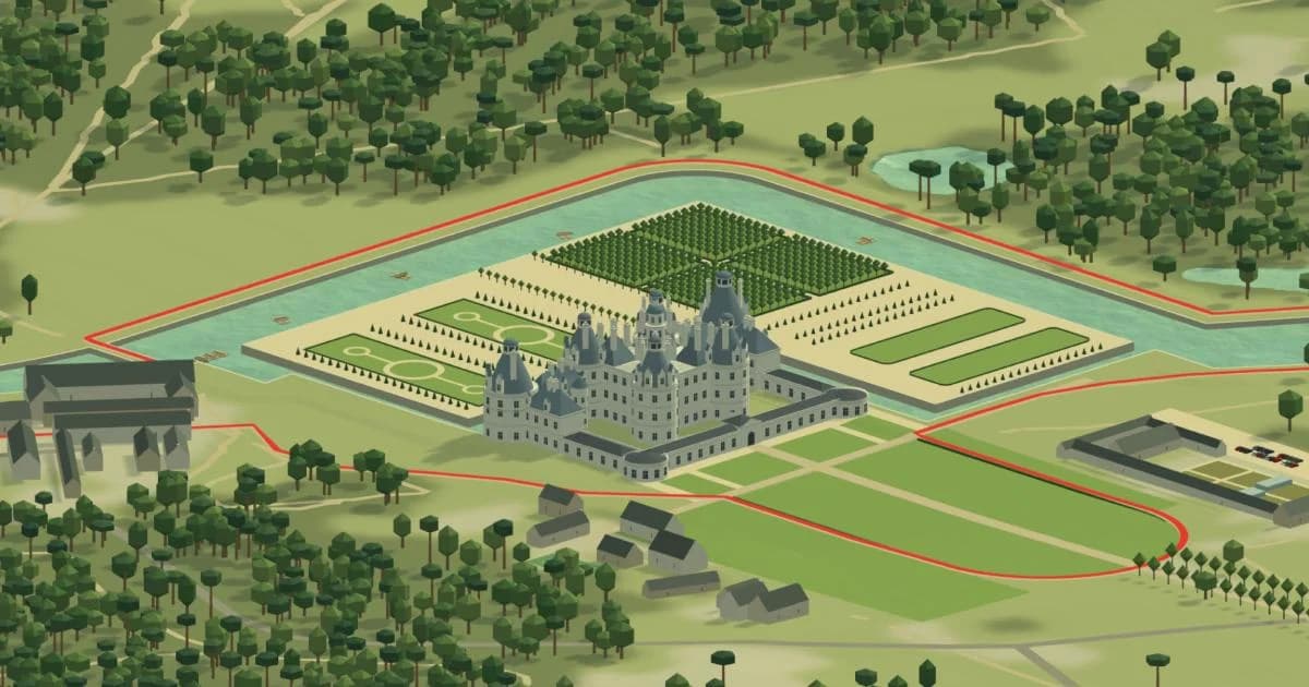
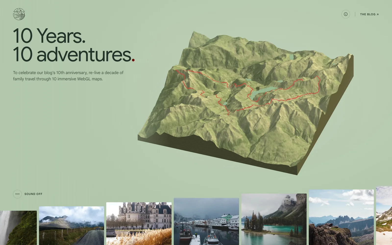
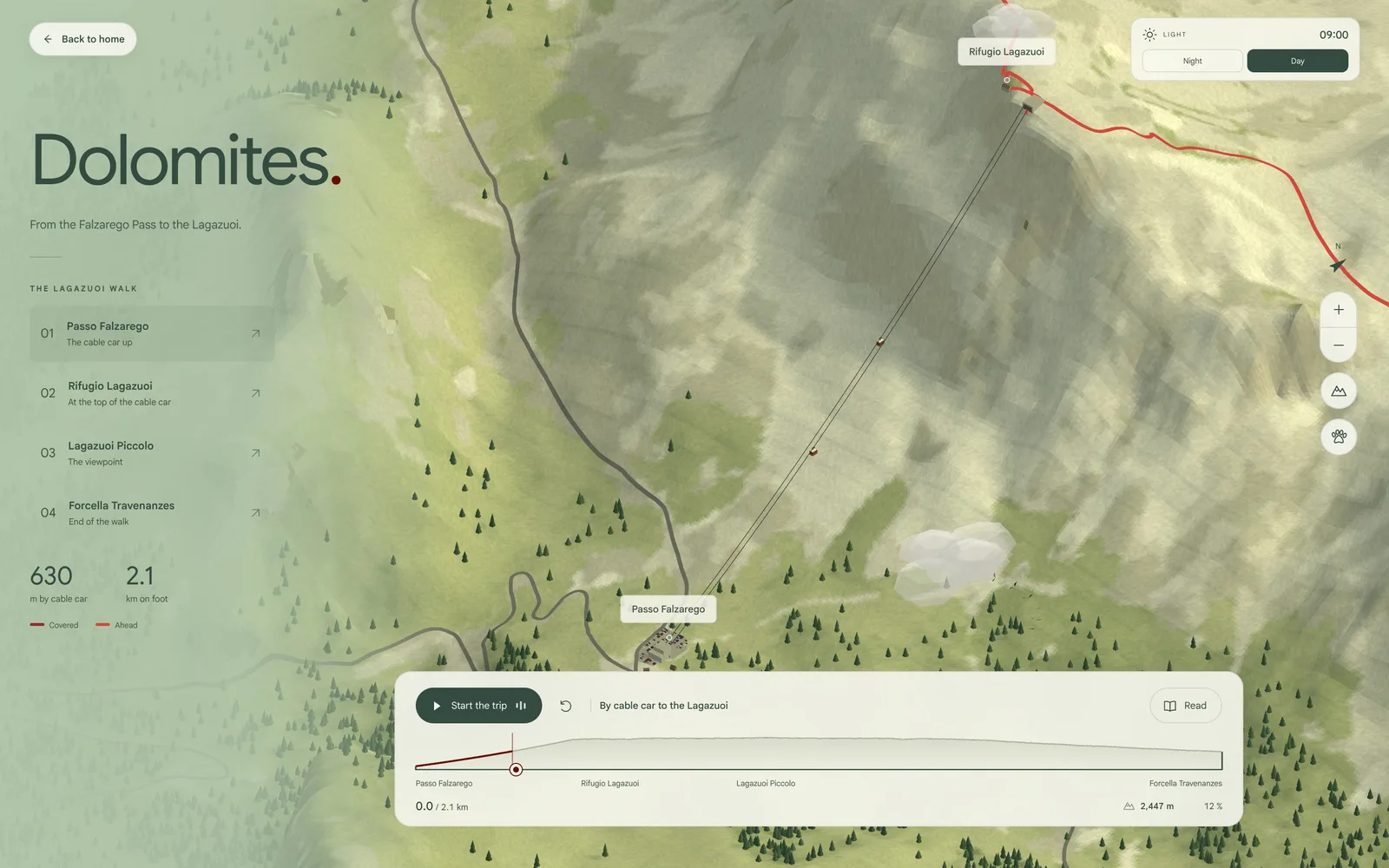
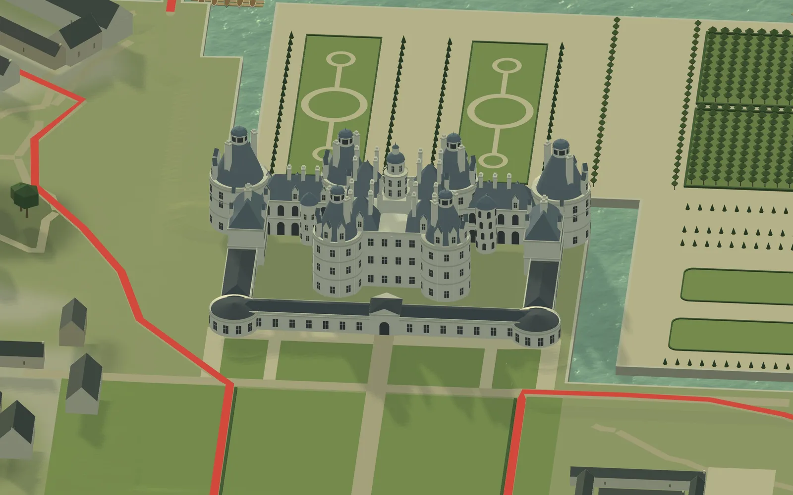
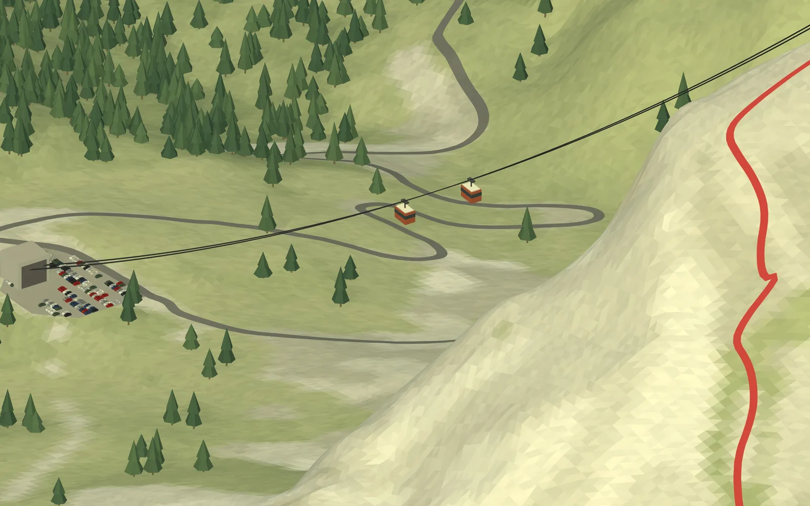
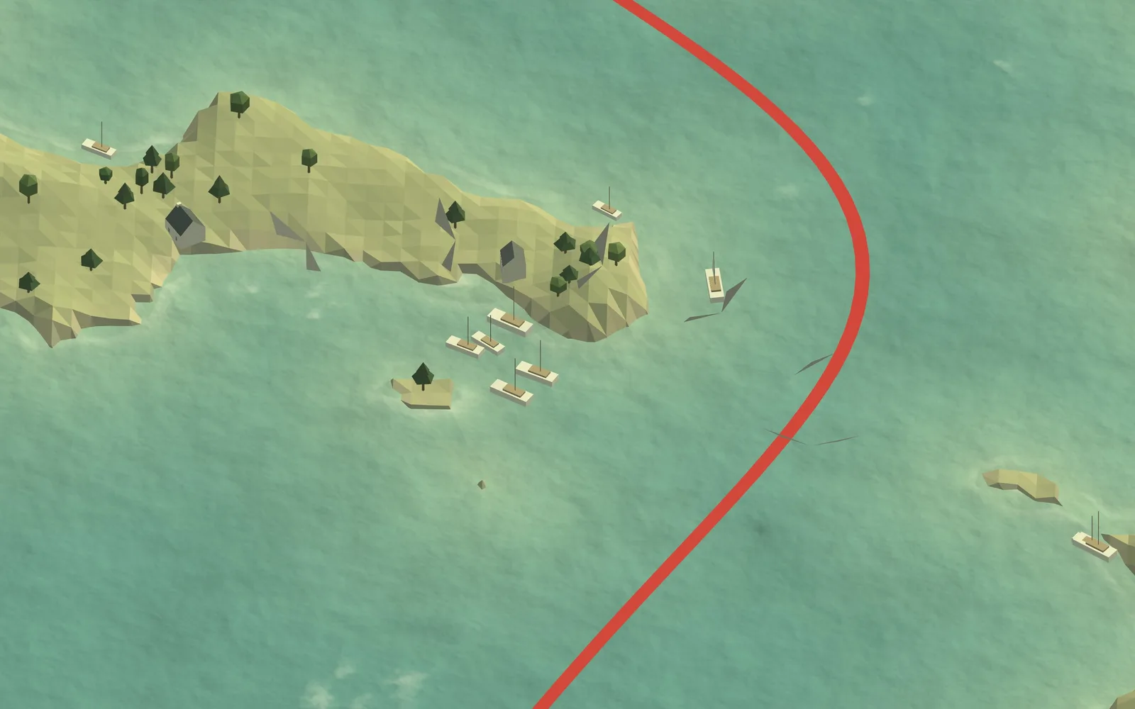
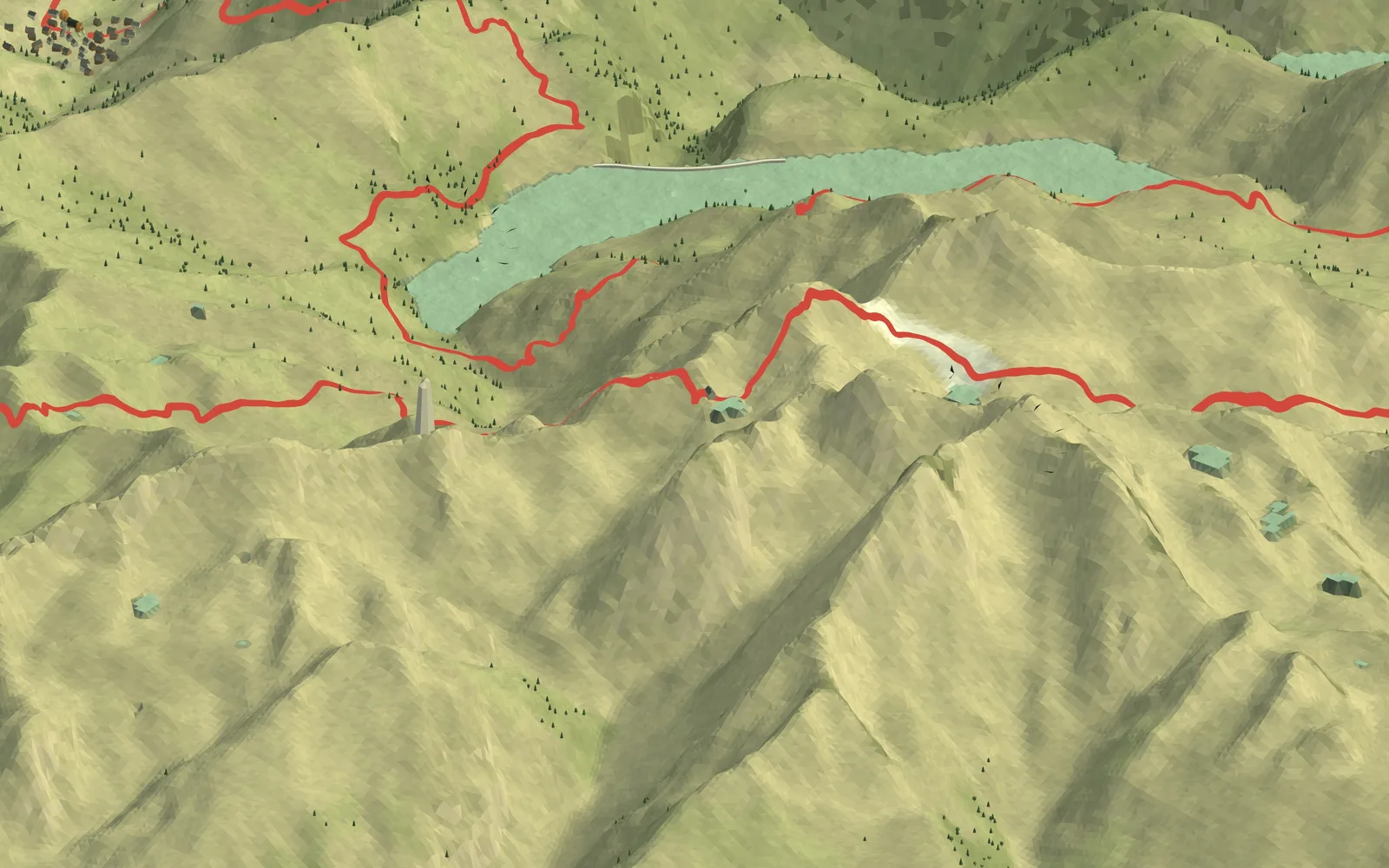
Realistic WebGL map with GPS track, heightmap, and satellite imagery.
About this build
Ten years ago, we set off to tour Iceland in a van, and that’s how our travel blog was born.
To mark the occasion, we selected the 10 trips that shaped the blog and recreated them as interactive 3D maps: Martinique, Iceland, the Isle of Skye, Chambord, the Lofoten Islands, the Canadian Rockies, the Dolomites, the Beaufortain region, the Gulf of Morbihan, and Ceillac.
On each map, you can follow the route, view photos, and listen to the story of the journey. This "vibecoding" experience relies primarily on Claude Opus 5.5 and ElevenLabs.
WebGL 2 (custom renderer, no 3D library), GLSL, vanilla JavaScript, real elevation data (heightmap.skydark.pl), Mapbox satellite imagery, OpenStreetMap, ElevenLabs (AI narration), Claude Opus 5.5 (vibe coding)
Comments
Sign in to comment.
No comments yet.
Similar projects

26 ancient divination systems, one Cosmic Score.

Pixel-art horse racing game for iOS, built in Godot: read the form, spot the horse the market got wrong, watch the photo finish.
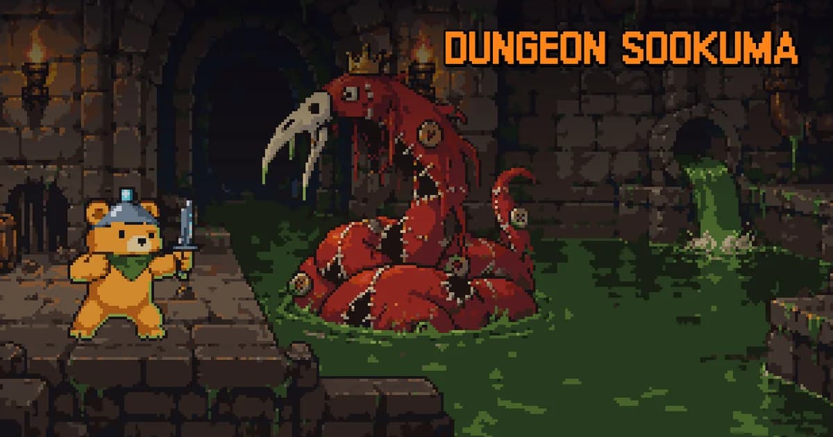
A traditional turn-based roguelike where a baby bear descends into a dream dungeon, bargains with 19 gods, and steals the Dream Crystal.


Watch Claude Code and Codex in one local-first cockpit, with secrets redacted before they ever hit disk.